Missouri Fire Weather Intelligence for Preparedness and Response
Fires will happen, so we focus on preparedness and response.
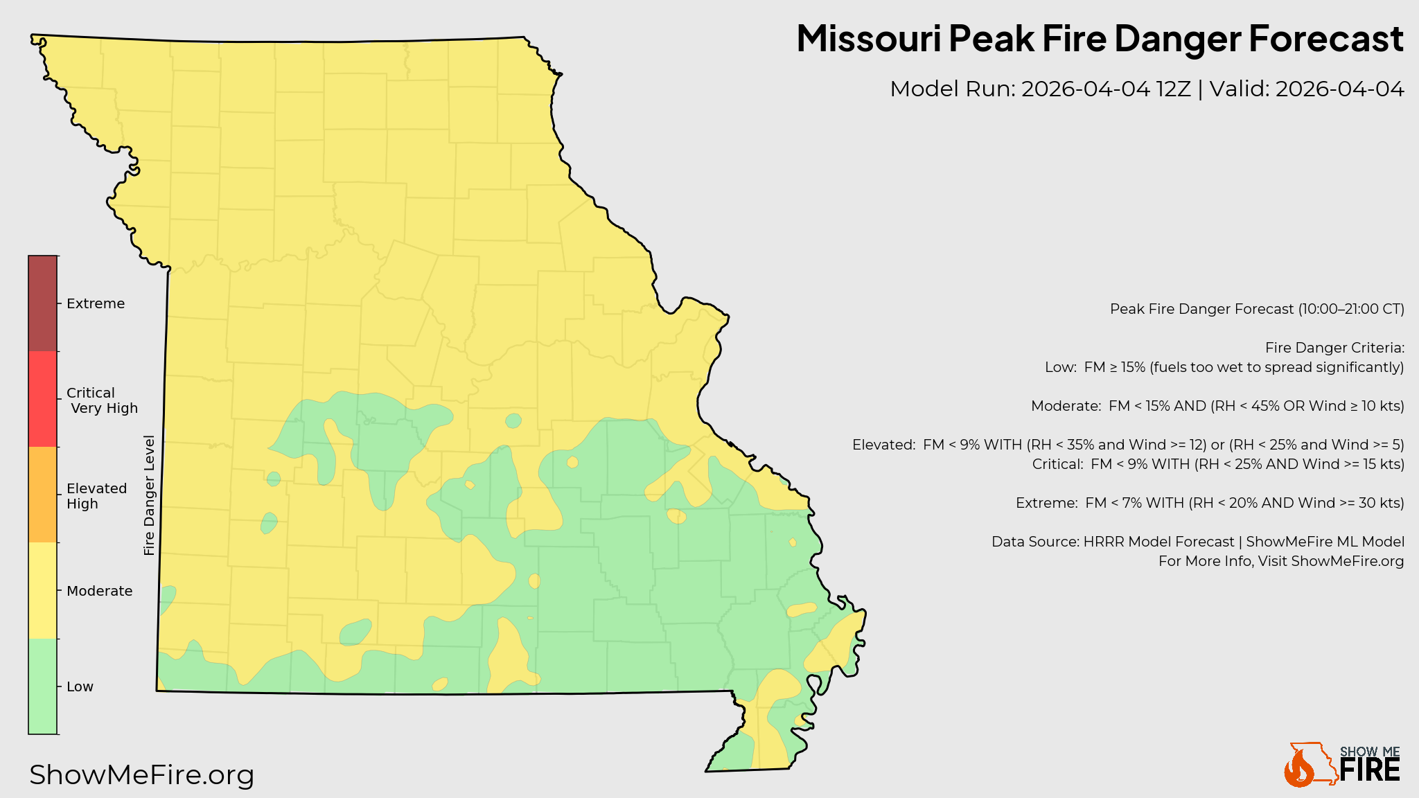
Forecast Peak Fire Danger
Expected peak fire danger conditions across Missouri for today.
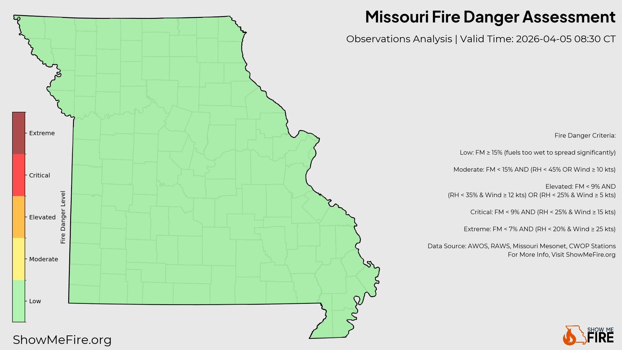
Real-Time Fire Danger
Current fire weather analysis across the state, updated every 15 minutes.
Providing fire weather coverage to 0 fire agencies
Across all 0 Missouri counties.
A unified resource for first responders, emergency managers, and the public. Data-driven precision for every district in the state.
Fire Danger
Low
Moderate
Elevated
Critical
Extreme